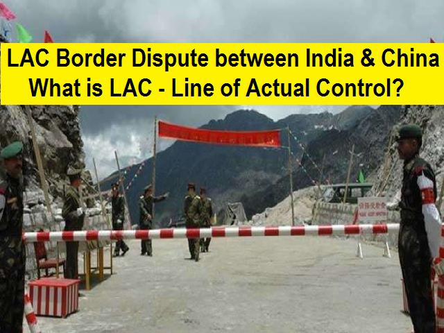
What is LAC- Line of Actual Control?

Six decades ago, India and China went to war over a border dispute that ended with an uneasy truce in 1962. While no border has ever officially been negotiated along the forbidding stretch of land high in the Himalayas that divides the two nations, the truce established a 2,100-mile-long Line of Actual Control. Since then, an uneasy peace has held.
China and India are the two most populous nations on earth, both armed with nuclear weapons, led by governments that have built support, in large part, by appeals to nationalist sentiment.
The Indian and Chinese Army has been engaged in a tense stand-off since the start of May along the Line of Actual Control (LAC), in the Himalayan region of Ladakh, which has the potential to escalate as they seek to further their strategic goals. This is a second such tense stand-off after the Dokalam stand-off in 2017.
Background:
- India and China share the world’s longest unmarked 3,488 km long border. India and China fought a full-fledged war in 1962 and since then have engaged in several small skirmishes along the borders, without any major war.
- Both sides have substantial and growing military deployments along a mostly and unmarked, disputed border.
- In early May, Chinese soldiers entered the Indian-controlled territory of Ladakh at three different points, erecting tents and guard posts which escalated the tensions and led to the stand-off.
Border disputes among India & China:
In the Western sector:
- Here India shares 2152 km long border with China, and territorial disputes over Aksai Chin region of Jammu and Kashmir, with both countries claiming the region as their own.
- The recent dispute is around the region of the northern bank of Pangong Tso lake, Demchok and the Galwan Valley.
In the middle sector:
- Here India roughly shares about 625 km long boundary with china with a few minor disputes regarding Tibet.
In the Eastern Sector:
- Here India shares a 1,140 km long boundary with China and this boundary line is called McMahon Line.
- The major dispute here is around the region of Tawang Valley of Arunachal Pradesh, Chumbi Valley (Dokalam Tri- Junction) which India shares with Bhutan.
What is Line Of Actual Control (LAC)?
- The LAC is the demarcation that separates Indian-controlled territory from Chinese-controlled territory.
- For India the LAC is 3,488 km long, while China considers it to be only around 2,000 km.
- It is divided into three sectors: the eastern sector which includes Arunachal Pradesh and Sikkim, the middle sector in Uttarakhand and Himachal Pradesh, and the western sector in Ladakh.
- LAC in the eastern sector consisting of Arunachal Pradesh and Sikkim is called the 1McMahon Line which is 1,140 km long.
- The McMahon Line was a negotiation between India and Tibet under Simla Convention of 1913-1914, without the participation of the Chinese government and China considers the McMahon Line illegal and unacceptable.
Who was McMahon?
- The McMohan line is named after Lieutenant Colonel Sir Arthur Henry McMahon. McMahon was a British Indian Army officer and administrator in the British Raj. He was foreign secretary of the British-run Government of India and the chief negotiator of the Simla Accord of 1914.
- McMahon proposed the line in the Simla Accord to separate Tibet from India in the eastern sector. China rejected the Simla Accord because it did not consider Tibet a sovereign government which could sign treaties. China also did not accept the boundaries between Inner and Outer Tibet.